
Introduction
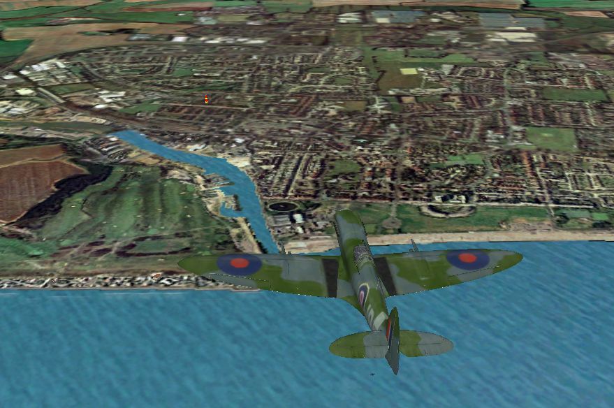
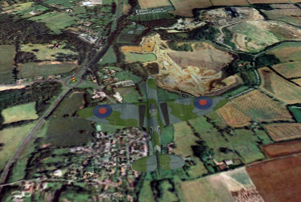
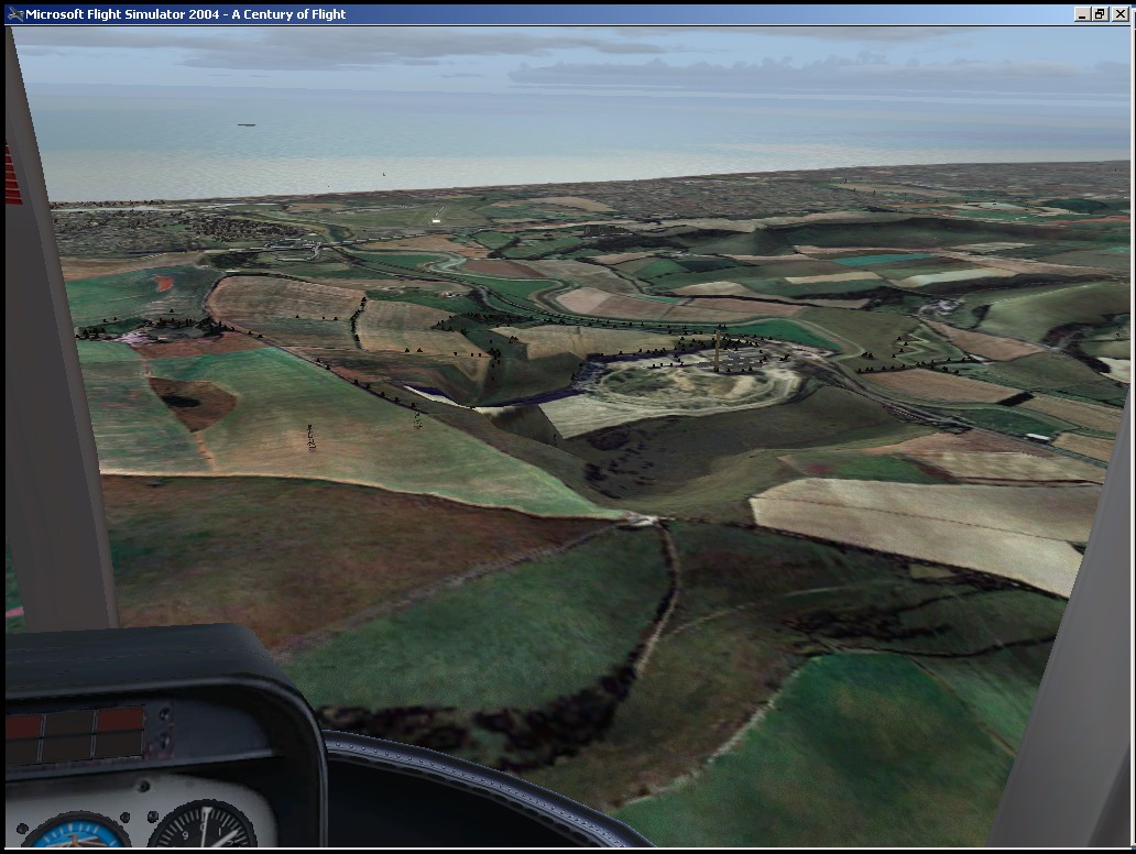
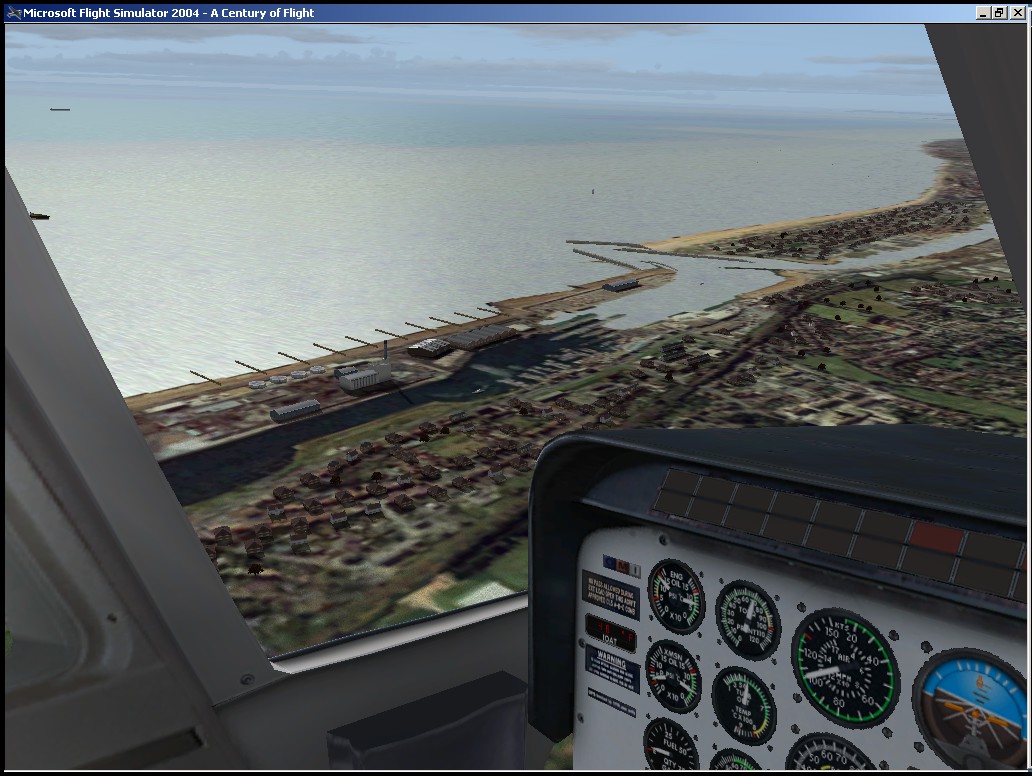
Shoreham is in an area known as Adur, which stretches inland from the Sussex Coast to the South Downs, and extends to the border with Worthing in the west to Hove's boundary in the east. The word 'Adur' is said to be of Celtic origin and comes from 'Dwyr' meaning water and the area takes its name from the River Adur, which divides Shoreham-by-Sea, Southwick and Fishersgate to the east, from Coombes, Lancing and Sompting in the west. Roughly half of Adur is made up of undulating downland and yet it includes a thriving commercial port and one of the oldest licensed airports in the country. Within a small and compact area Adur enjoys the benefits of the sea, the Downs, village greens, places of historic and maritime interest and a friendly and active community. For conservation enthusiasts, Adur provides a wealth of natural habitats to enthrall people of all ages from bird and butterfly watchers to budding marine biologists.
Circuit Details
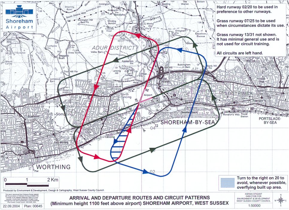
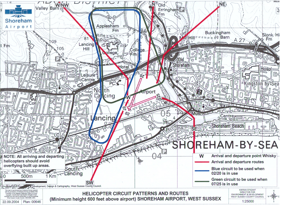
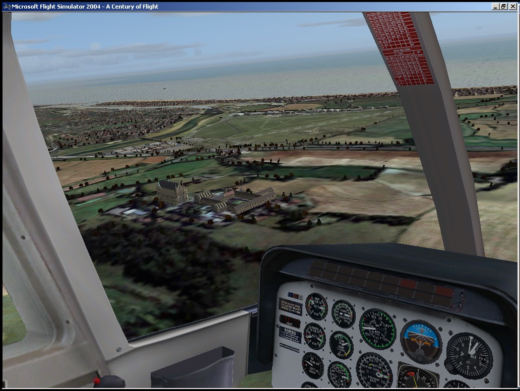
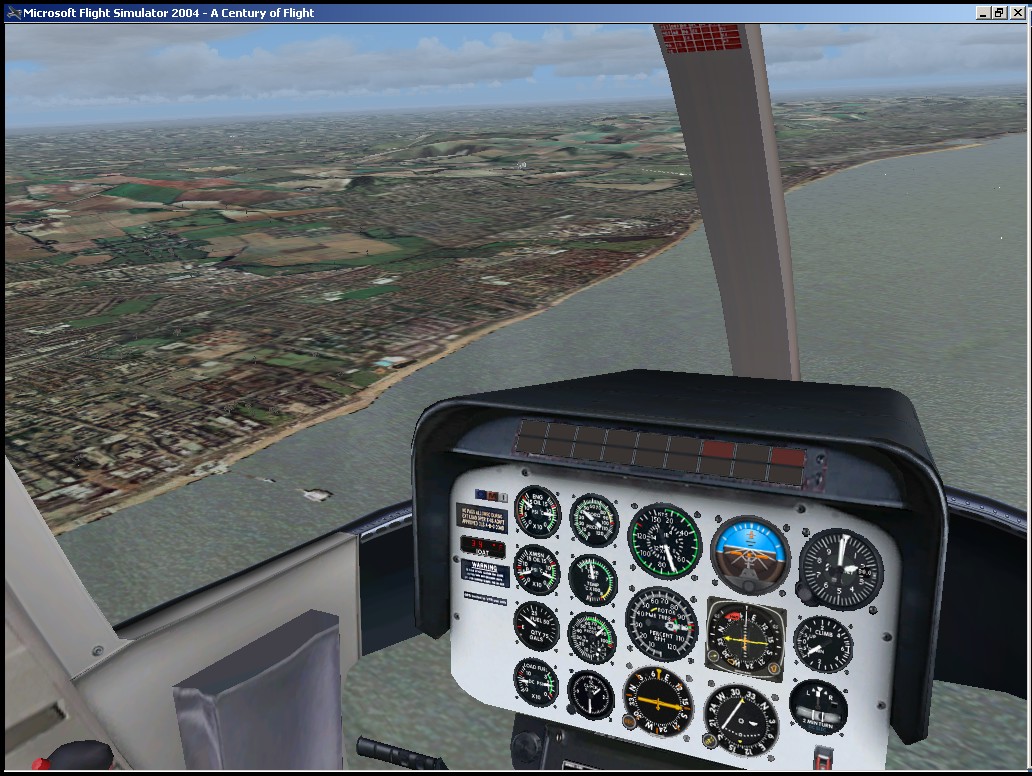
All fixed wing circuits are flown at 1100 feet. Helicopters are restricted to 600 feet within the zone. QNH and QFE are the same as the airfield is only just above sea level. Circuit direction is normally left hand.
The preferred runway is 02-20, though another may be in use at the same time. Unless otherwise instructed, arriving aircraft will overfly the airfield at 2000 feet, until instructed by ATC to descend on the dead side, and cross the upwind end of the runway at circuit height to join the downwind leg.
Aircraft arriving direct to the crosswind leg should position to cross the upwind end of the runway before turning downwind.
Circuit plans: Fixed wing Helicopter
Radio Frequencies
- SHOREHAM TOWER (EGKA_TWR) - 125.40 (123.15 when Approach is not on line.)
- SHOREHAM APPROACH (EGKA_APP) - 123.15 (may also provide Tower services.)
- SHOREHAM Automatic Terminal Information Service (EGKA_ATIS) - 125.30
On VATSIM, if the lower control service is not online, cover is normally provided by the next higher control service. So, the Shoreham Approach frequency may also cover Tower communications. In the Real World, the same frequency is often used as Shoreham Radio, an Air Ground service.